The Location Field
The Location field (internally location) provides a native tool for capturing geospatial coordinates and location data on resources.
Field Structure
Section titled “Field Structure”This field interacts with integrated map services:
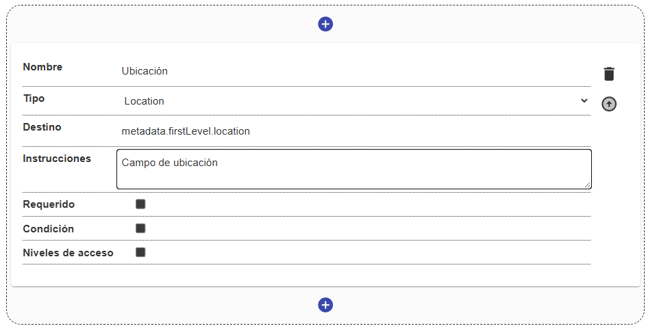
Name:
- Description: The field’s visual label.
- Example:
"Place of origin","Coordinates of the find".
Destination:
- Description: The key in the metadata where the geospatial object will be stored (latitude and longitude, and optionally the location text).
- Example:
metadata.firstLevel.find_location.
Instructions:
- Description: On-screen help to guide the user.
Required:
- Description: Requires the user to set a location before being able to save the record.
Condition and Access levels:
- Description: Handle conditional logic and security restrictions at the visual level.
Behavior in the interface
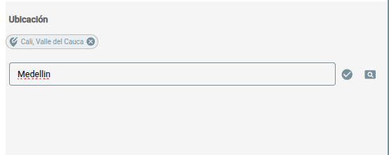
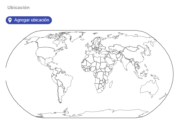
Section titled “Behavior in the interface”- In the interface, it is usually presented as a geographic search (often connected to geolocation services) or a visual map component.
- The user can type the name of a place or interact with the map (dropping a pin) to set the exact coordinates.
- Storage in the database is done in a structured format suited for subsequent geospatial searches (GeoJSON or similar).
Usage examples
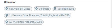
Section titled “Usage examples”Locations are displayed with their complete information and on an interactive map when coordinates are available. The user can add a new location from the form itself, and a single field can end up holding several locations associated with the resource: